"Image From Above"
Welcome to the world of Orthomosaics
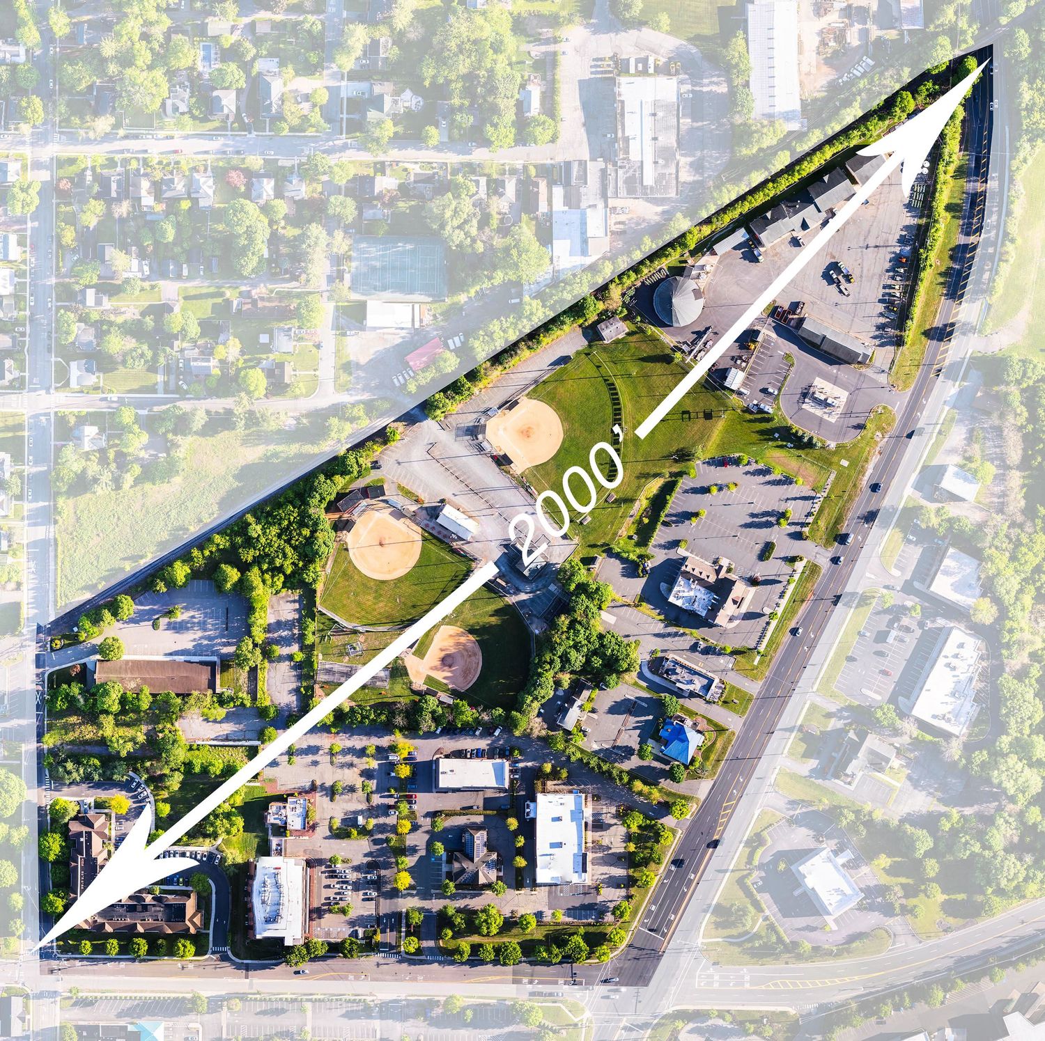
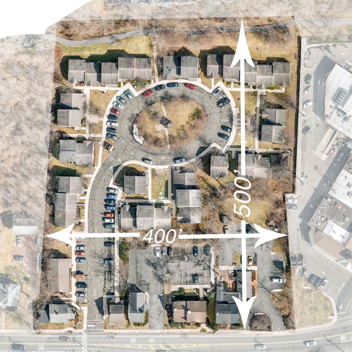
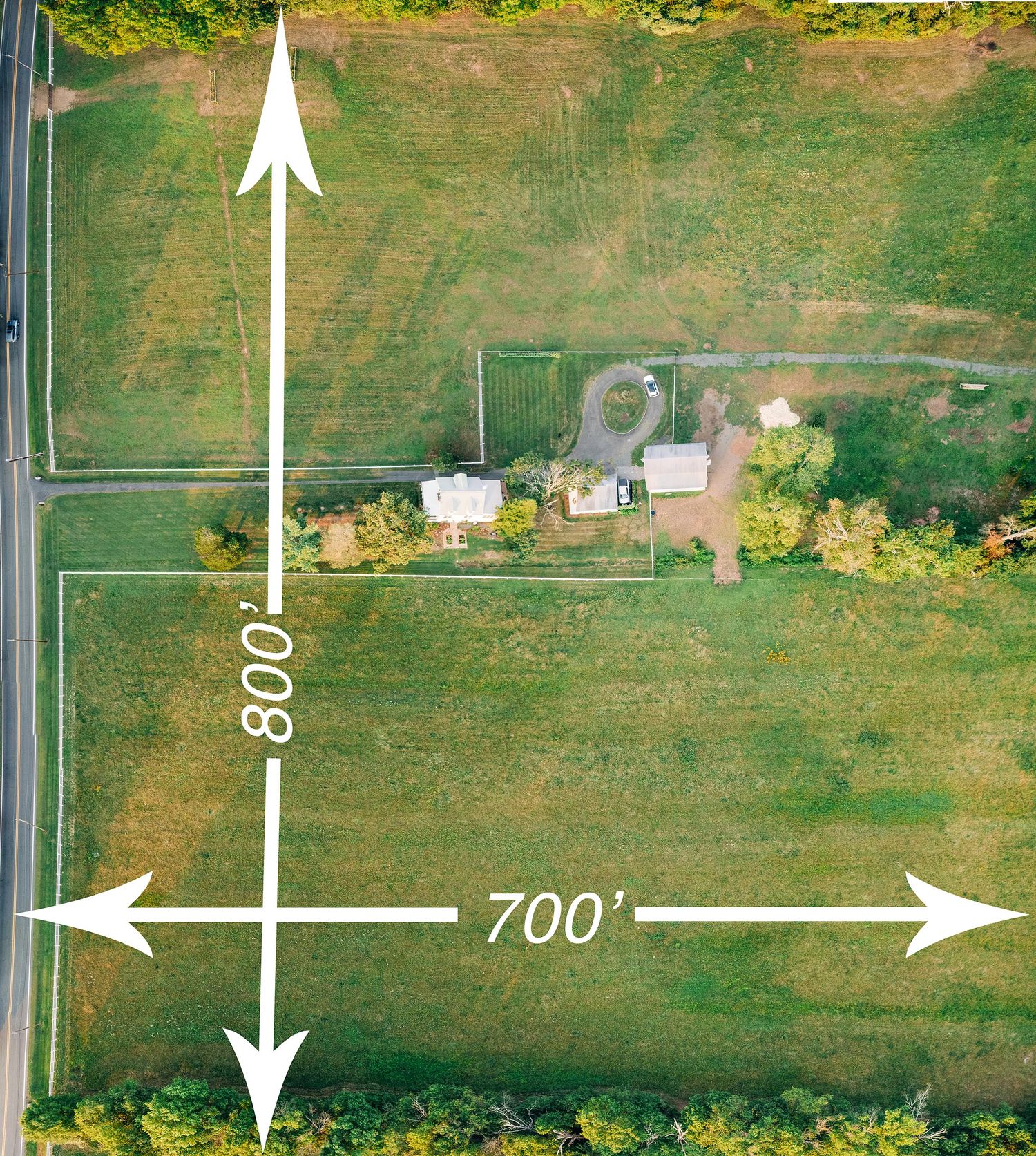
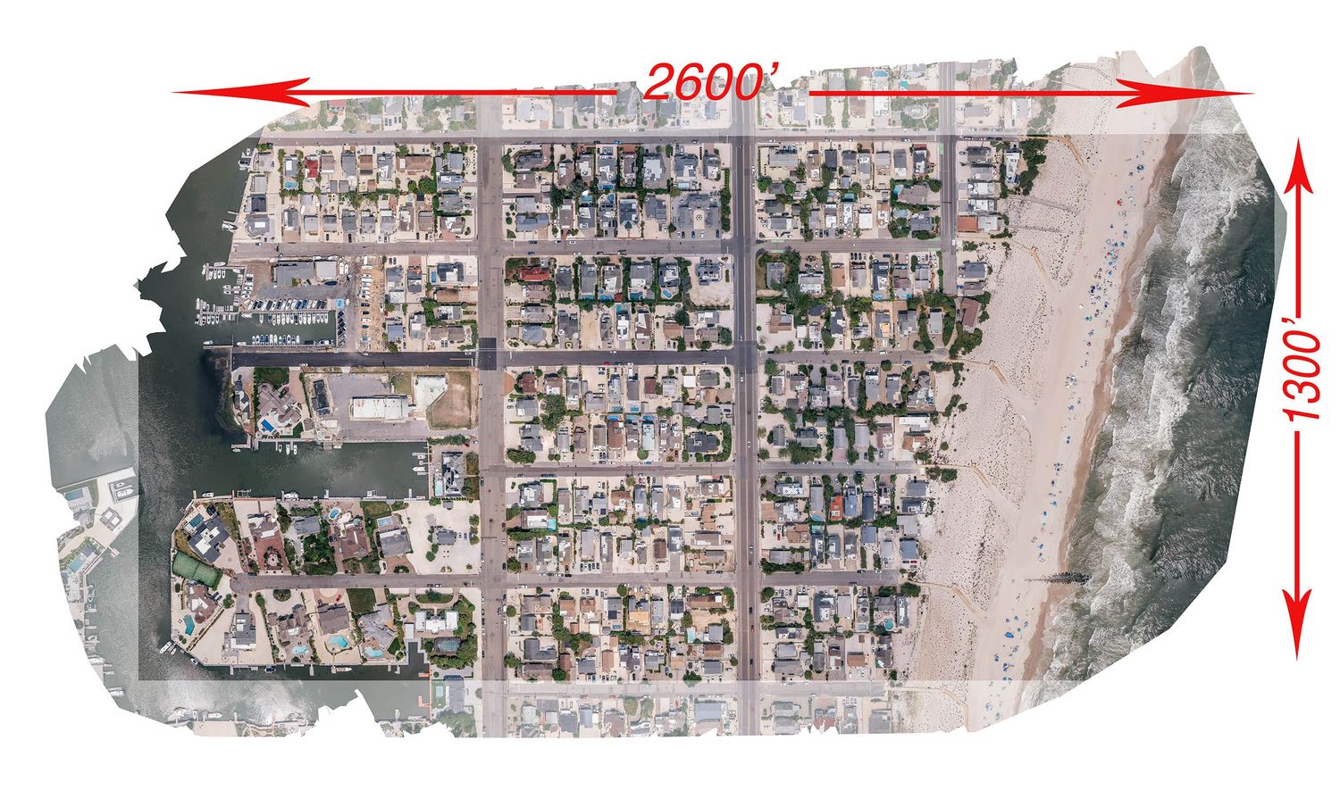
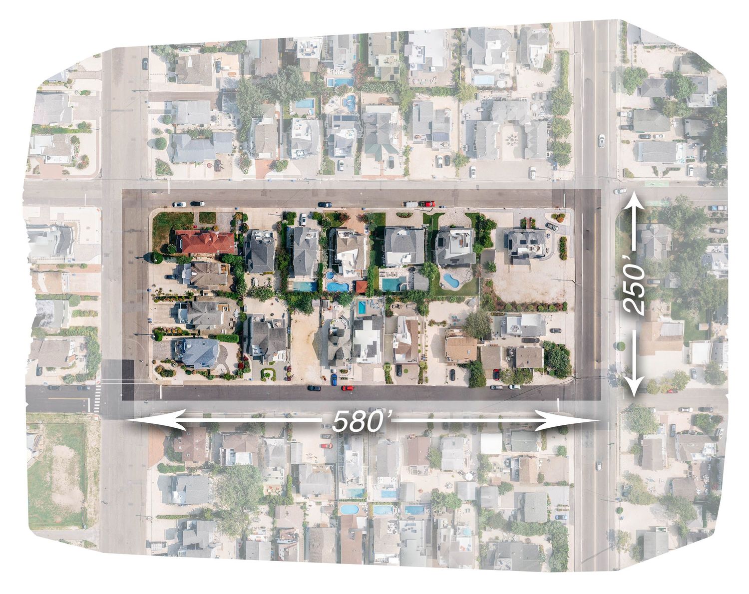
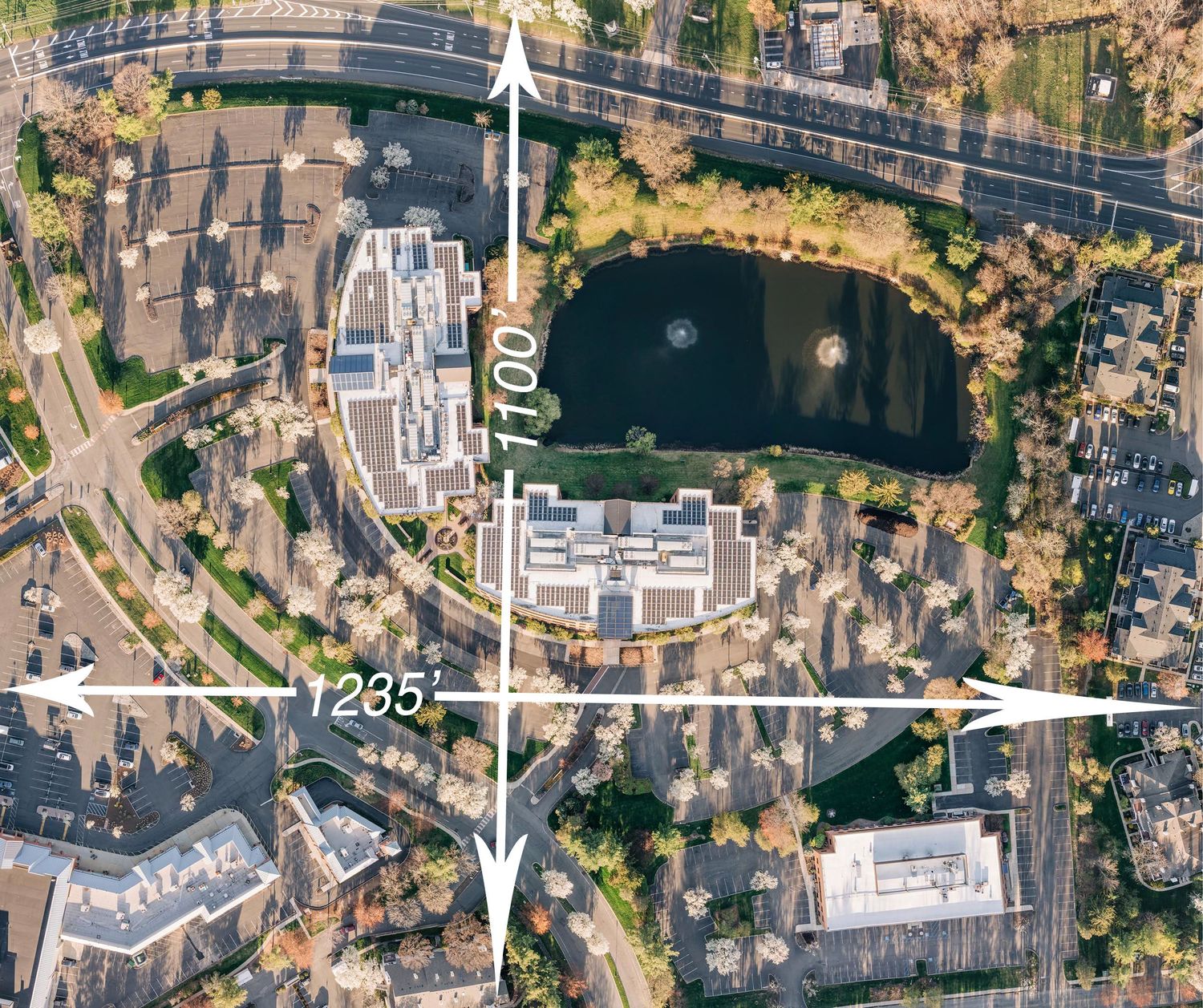
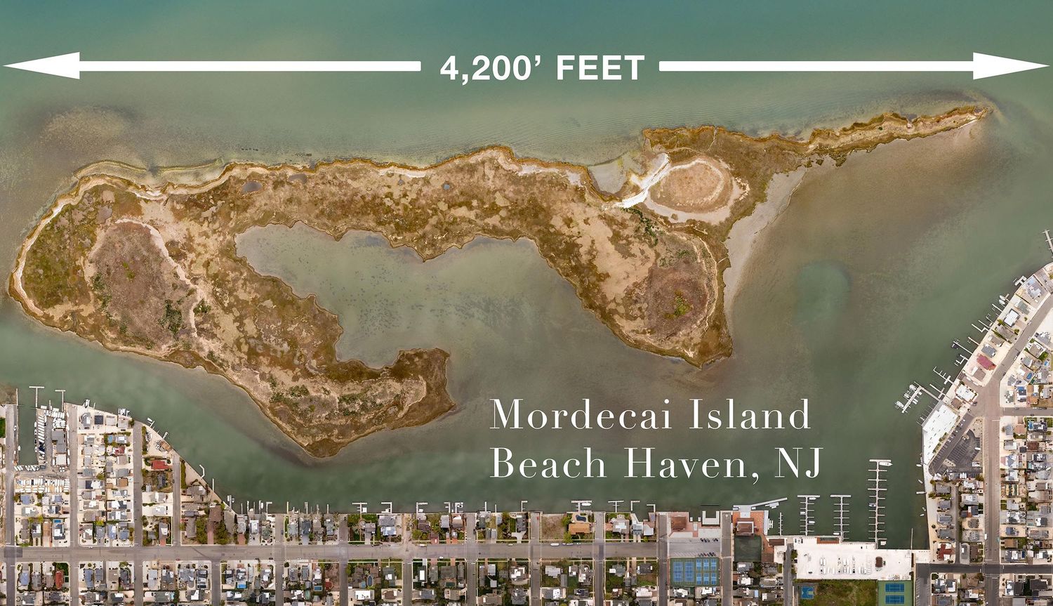
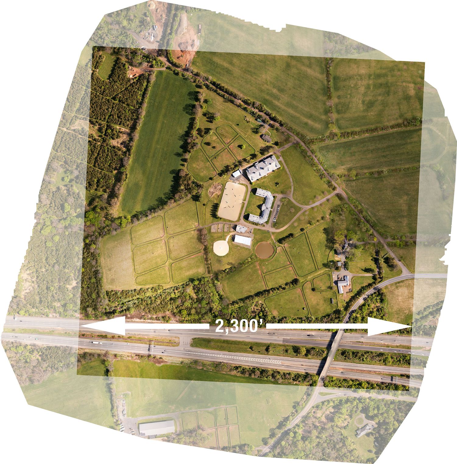
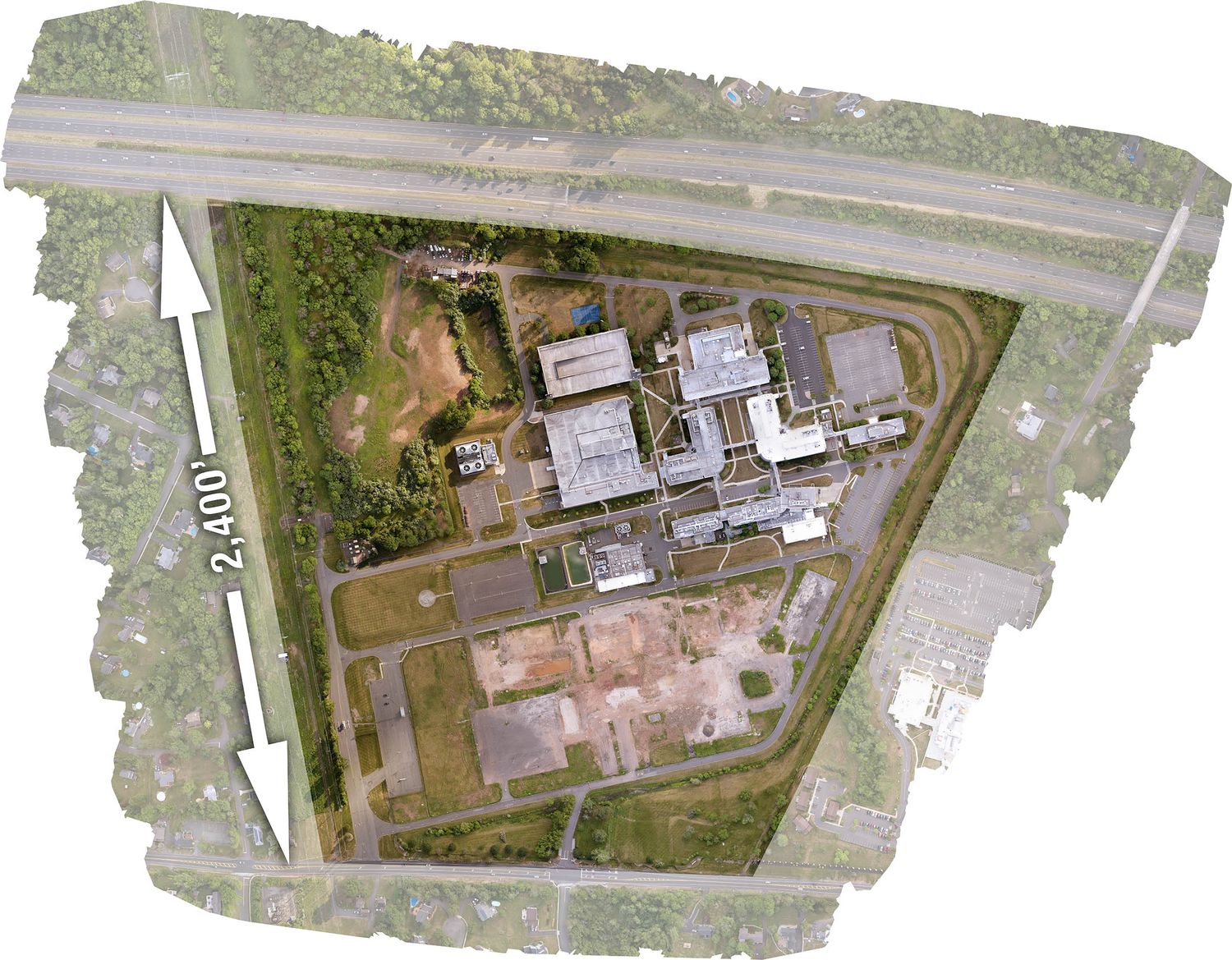
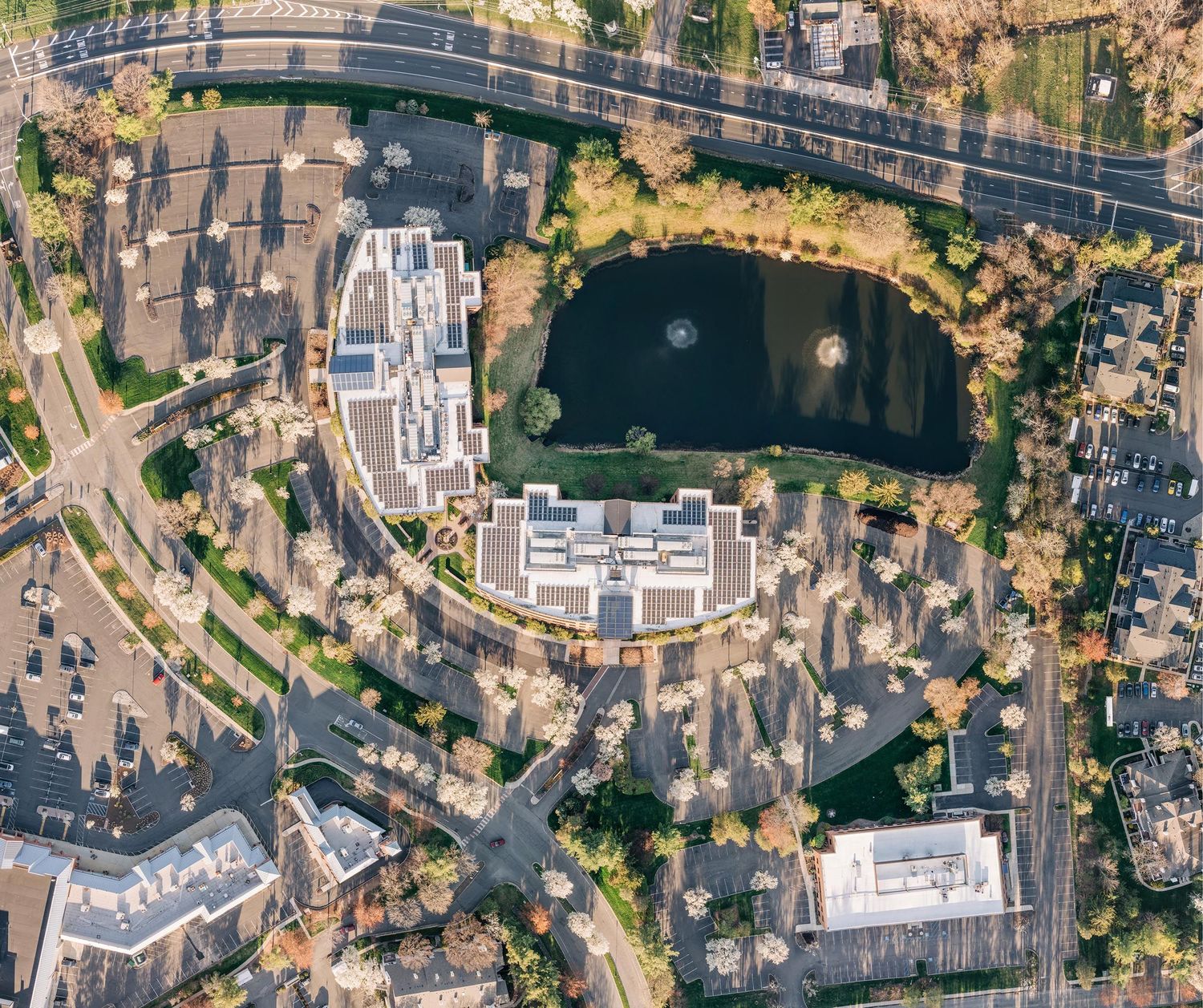
The making of an Orthomosaic image begins with a drone and camera capturing hundreds, sometimes thousands, of photographs during a precisely planned autonomous flight. Each image overlaps the next as the drone follows a predetermined route through the sky. Once captured, the photographs are processed in powerful cloud-based software that seamlessly stitches every frame together into one massive, ultra-high-resolution image.
Most people view Orthomosaics as technical mapping tools. I view them as art.
My mission with this type of photography is not geological surveying or data collection. It’s about creating beautiful, frame-worthy imagery from perspectives rarely seen by the human eye. With the right light, atmosphere, and precision flying, these images can become stunning large-scale murals — with prints as large as 72” x 48” completely achievable while still retaining remarkable detail.
Imagine an “Image From Above” of your farm, country estate, seaside getaway, marina, or private property. Imagine documenting a construction project from groundbreaking to completion through a series of evolving aerial mosaics. Every project becomes a one-of-a-kind visual record — part photograph, part document, part artwork.
When captured properly, an Orthomosaic is more than a map. It becomes a story viewed from the sky.
If you’d like to learn more or discuss a project, I’d love to hear from you.
SAMPLES ARE BELOW
201-406-5817